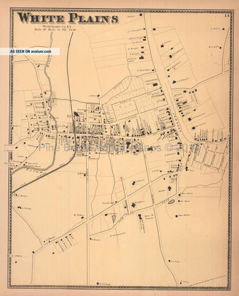
White Plains York Antique Map Beers 1867
Item History & Price
| Reference Number: Avaluer:36644 | Type: Map |
| Original/Reproduction: Original | Maker: Beers |

| Reference Number: Avaluer:36644 | Type: Map |
| Original/Reproduction: Original | Maker: Beers |
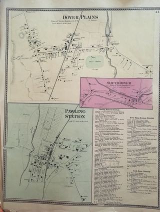
Town Of Dover Plains, York Antique Map Beers, Ellis, Soule 1867
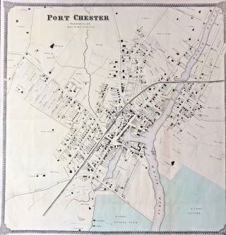
Vintage Map Nyc Vicinity Port Chester York Antique Map Beers 1867
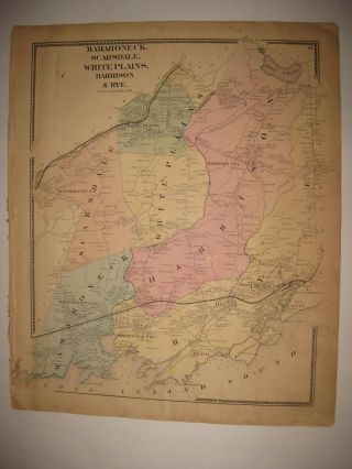
Antique 1867 Mamaroneck Scarsdale Harrison Rye White Plains York Handclr Map
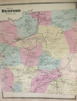
Town Of Bedford, York Antique Map, Beers, Ellis, Soule 1867
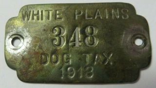
Vtg 1913 Dog Tag License Tax Registration White Plains, York Antique 348
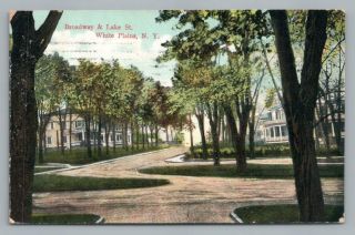
Broadway & Lake Street White Plains York Antique Postcard 1910
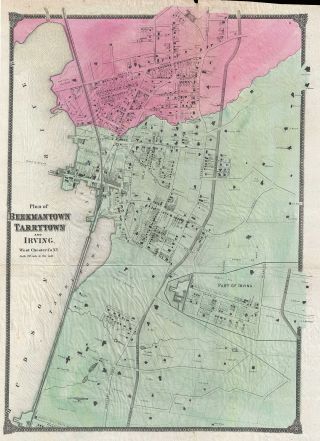
1867 Beers City Map Of Tarrytown (sleepy Hollow), York
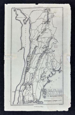
Revolutionary War Map Battle Of White Plains York Harlem American Revolution

1860 Mitchell Hand Colored Map Colorado, Nebraska & Kansas - Civil War Era

18th Century French Map Of North America

Las Vegas Nevada Vintage 1967 Us Geological Survey Quadrangle Map 4 Panels

Rare Antique 1845 Maps United States Exploring Expedition Book Antartica Hawaii

Vintage 1926 Map Hollywood From The Best Surveys Of The Time

American Continent (western Hemisphere) 1747 Bowen Antique Copper Engraved Map

Gulf Coast Florida Texas United States 1705 De Fer Unusual Antique Engraved Map

California As Island United States 1700 De Fer Unusual First Edition Antique Map