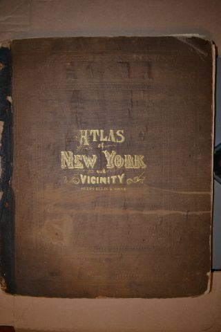
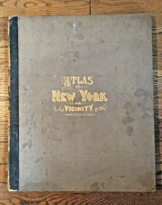
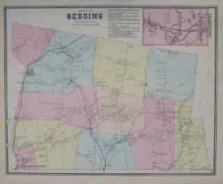
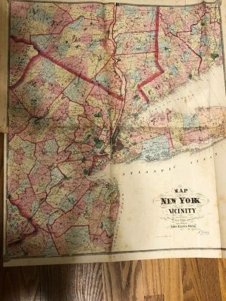
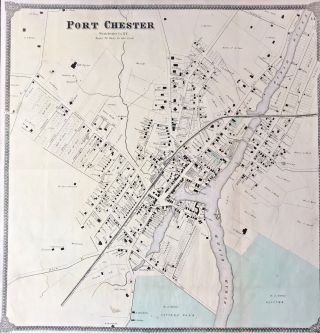
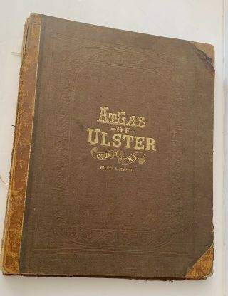
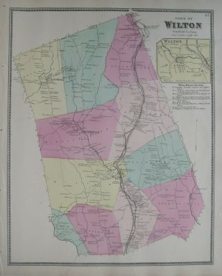
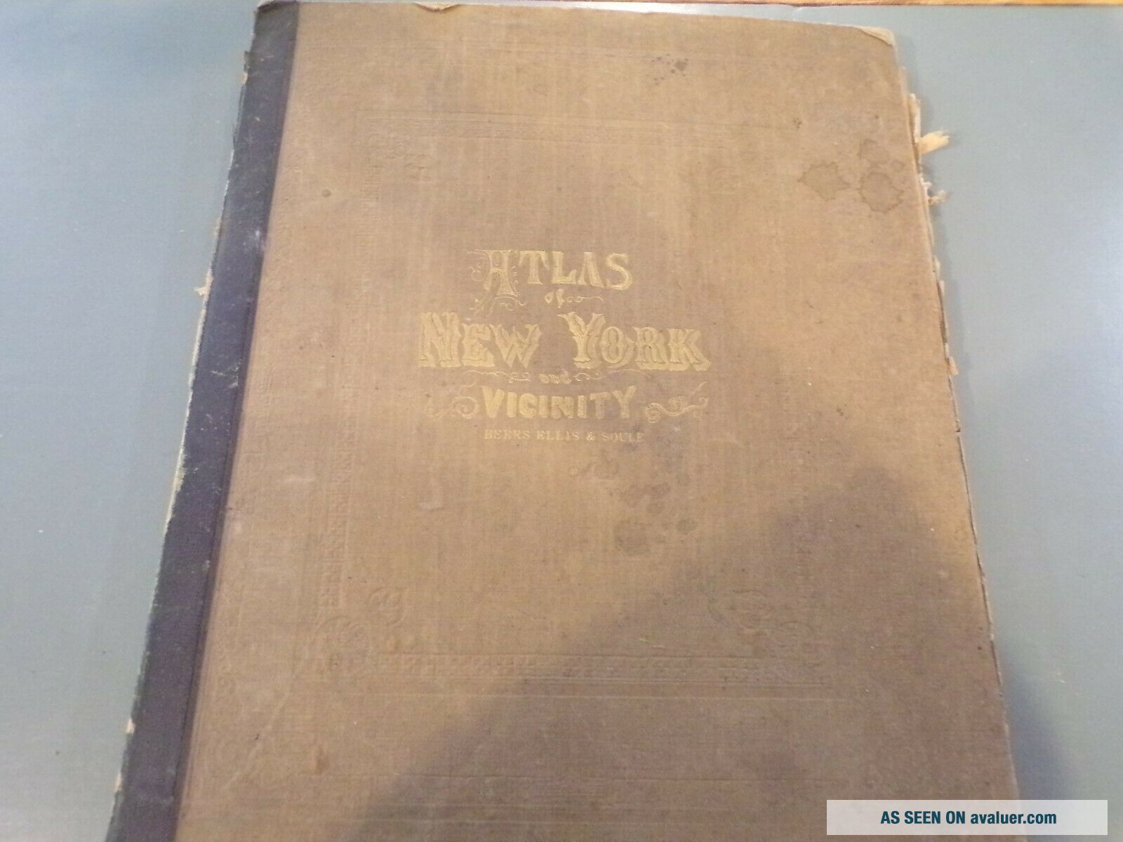
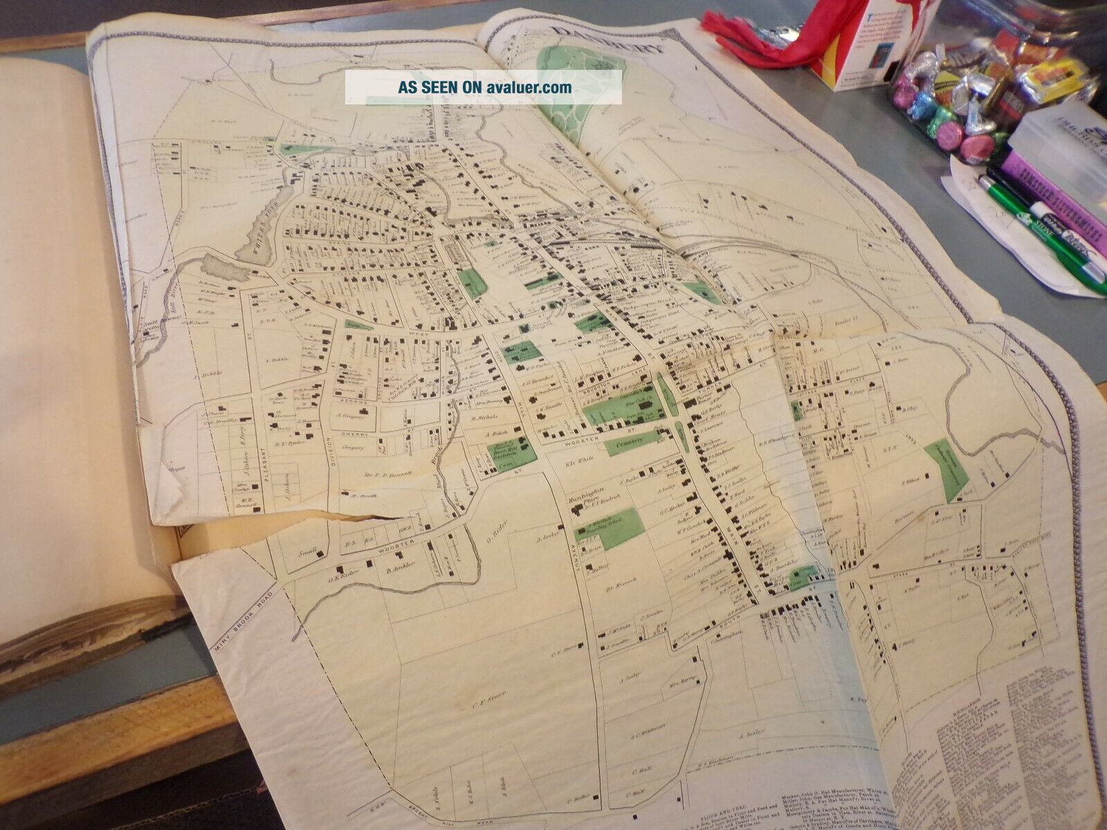
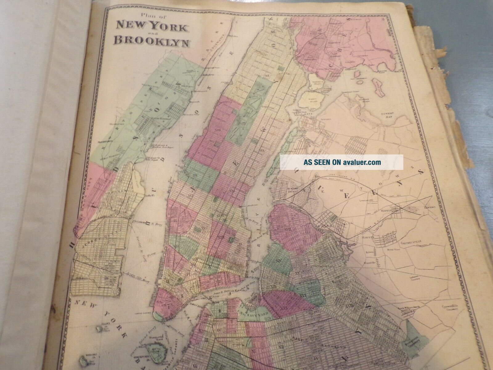
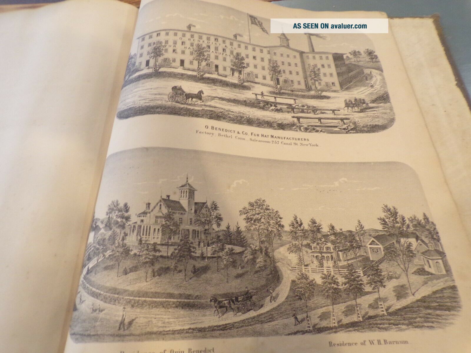
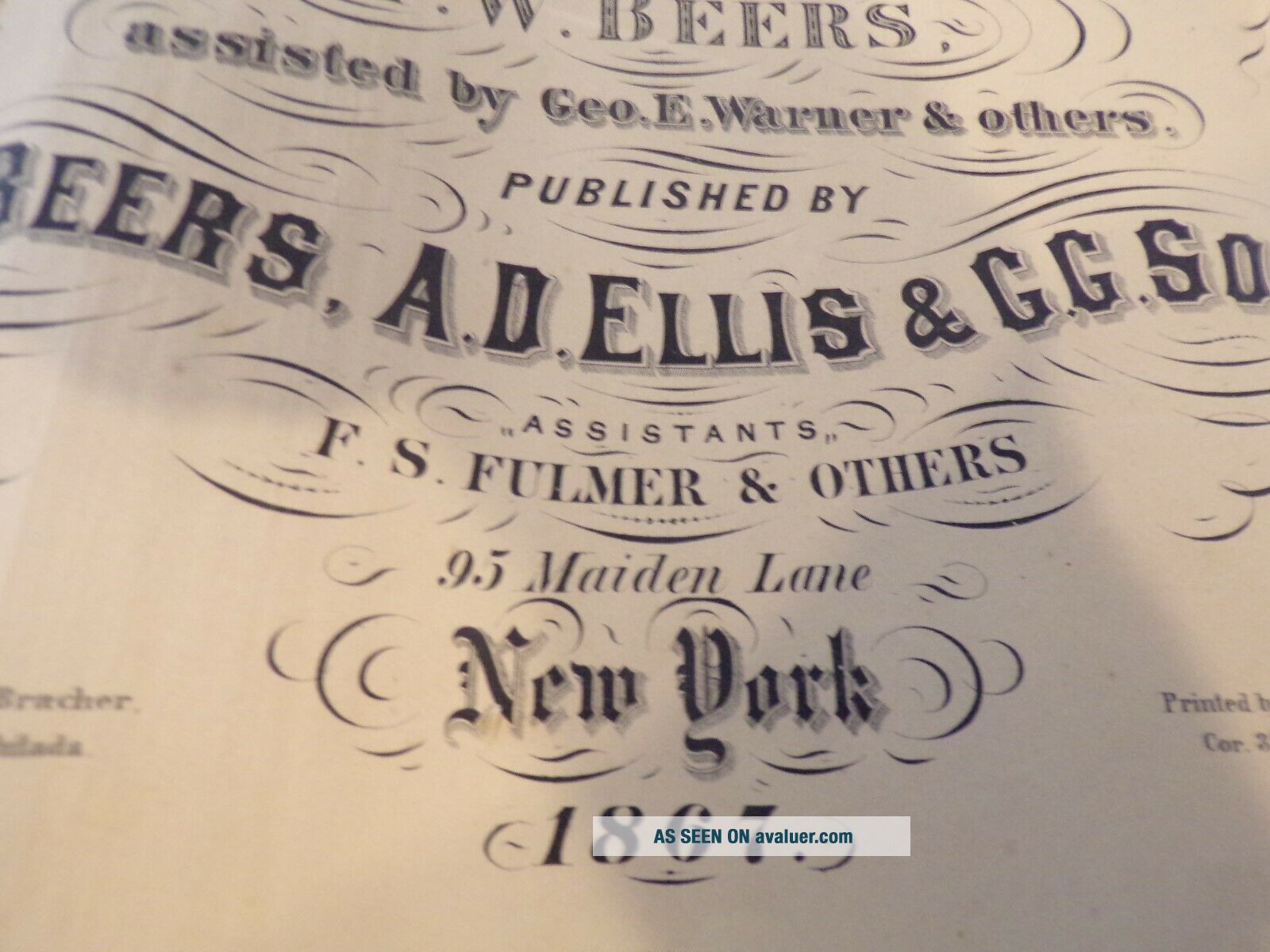
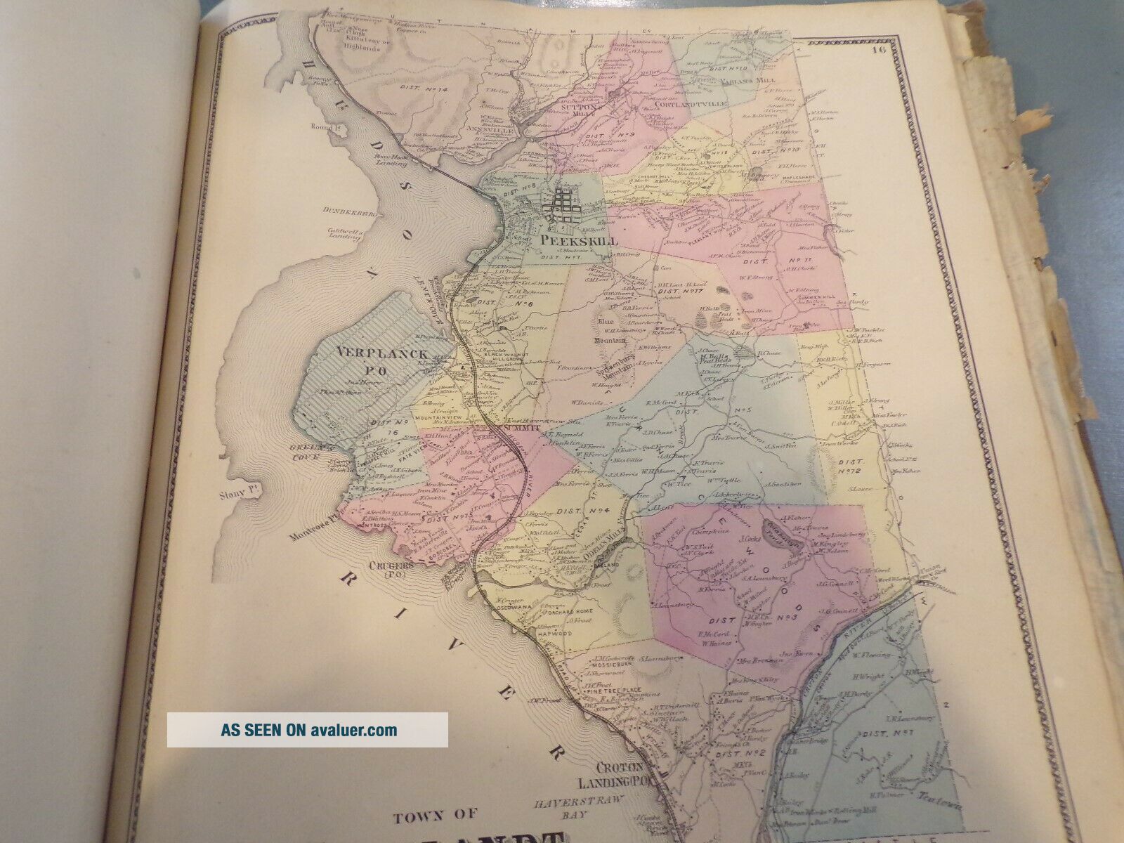
BEERS 1867 ATLAS YORK & Vicinity Fairfield County Ct Maps Complete Drawings


Item History & Price

Information:
Reference Number: Avaluer:42979Year: 1867
US State: New YorkFormat: Atlas
City: New YorkType: County Map
Country/Region: United States of AmericaOriginal/Reproduction: Antique Original
Original Description:
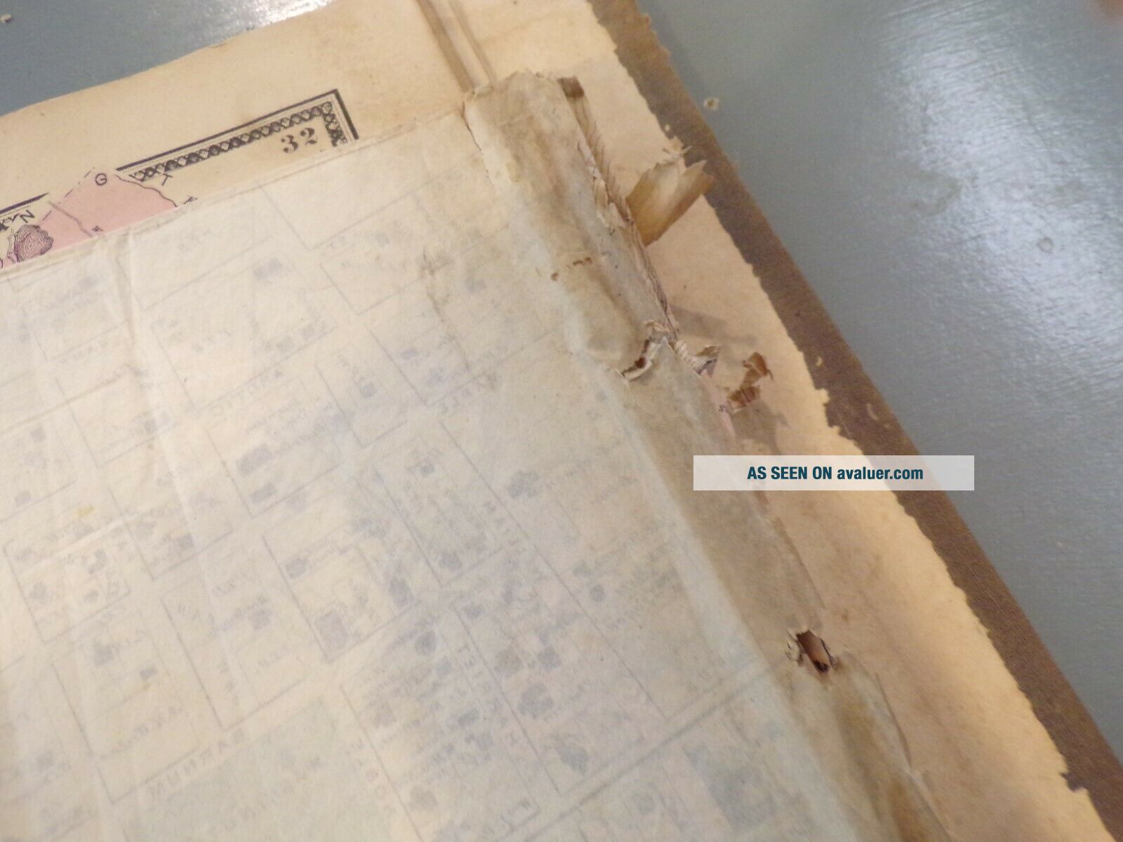
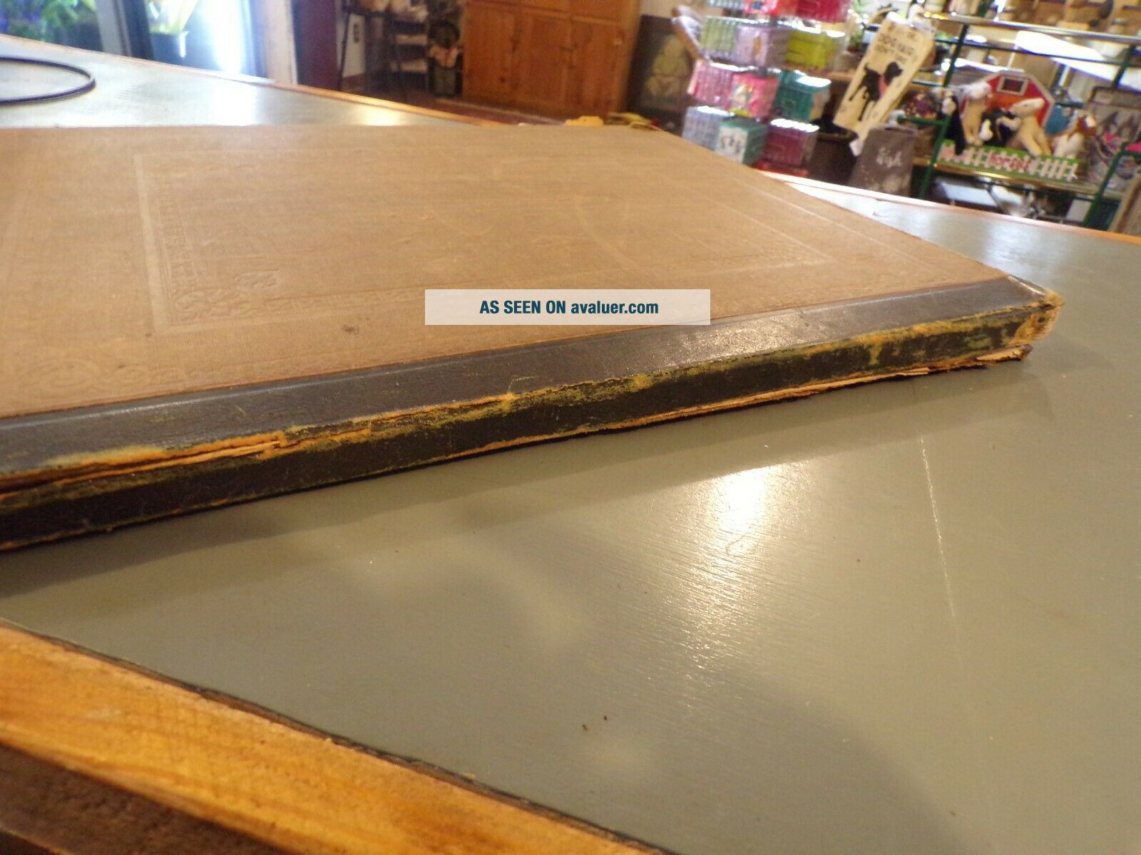
BEERS 1867 ATLAS NEW YORK & Vicinity Fairfield County Ct Maps Complete Drawings. Covers are intact, 18"x 15" full maps are intact. some age related discoloring but maps are in overall good condition.Some pull out maps are creased and torn but still there.Book is in overall good condition with age related issues.First few pages are creased but maps are not.Free shipping


    Similar items


  • Beers 1867 Atlas York & Vicinity 18x15 In Rough

    Beers 1867 Atlas York & Vicinity 18x15 In Rough

  • 1867 Atlas " York And Vicinity " By Beers Ellis Goule Maps Etc.

    1867 Atlas " York And Vicinity " By Beers Ellis Goule Maps Etc.

  • 1867 Map Redding Georgetown Fairfield County Connecticut Railroad Mills

    1867 Map Redding Georgetown Fairfield County Connecticut Railroad Mills

  • 1867 Atlas Of York And Vicinity As Is; F.  W.  Beers

    1867 Atlas Of York And Vicinity As Is; F. W. Beers

  • Vintage Map Nyc Vicinity Port Chester York Antique Map Beers 1867

    Vintage Map Nyc Vicinity Port Chester York Antique Map Beers 1867

  • Rare - 1875 Atlas Book Of Ulster County York Dg.  Beers & Co.  - Rare

    Rare - 1875 Atlas Book Of Ulster County York Dg. Beers & Co. - Rare

  • 1872 Livingston County Ny Plat Book Atlas Maps Beers History Folio York Rare

    1872 Livingston County Ny Plat Book Atlas Maps Beers History Folio York Rare

  • 1867 Beers Map Wilton Fairfield County Connecticut Danbury & Norwalk Rr

    1867 Beers Map Wilton Fairfield County Connecticut Danbury & Norwalk Rr


    • You might also like


    • 1860 Mitchell Hand Colored Map Colorado,  Nebraska & Kansas - Civil War Era

      1860 Mitchell Hand Colored Map Colorado, Nebraska & Kansas - Civil War Era

    • 18th Century French Map Of North America

      18th Century French Map Of North America

    • Las Vegas Nevada Vintage 1967 Us Geological Survey Quadrangle Map 4 Panels

      Las Vegas Nevada Vintage 1967 Us Geological Survey Quadrangle Map 4 Panels

    • Rare Antique 1845 Maps United States Exploring Expedition Book Antartica Hawaii

      Rare Antique 1845 Maps United States Exploring Expedition Book Antartica Hawaii

    • Vintage 1926 Map Hollywood From The Best Surveys Of The Time

      Vintage 1926 Map Hollywood From The Best Surveys Of The Time

    • American Continent (western Hemisphere) 1747 Bowen Antique Copper Engraved Map

      American Continent (western Hemisphere) 1747 Bowen Antique Copper Engraved Map

    • Gulf Coast Florida Texas United States 1705 De Fer Unusual Antique Engraved Map

      Gulf Coast Florida Texas United States 1705 De Fer Unusual Antique Engraved Map

    • California As Island United States 1700 De Fer Unusual First Edition Antique Map

      California As Island United States 1700 De Fer Unusual First Edition Antique Map

Avaluer          About Us          Privacy Policy          Contact Us          UP
© 2022, avaluer.net, Inc. or its affiliates