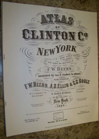
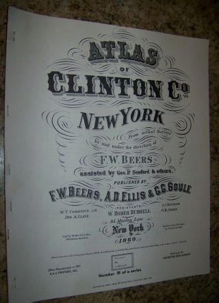
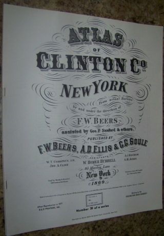
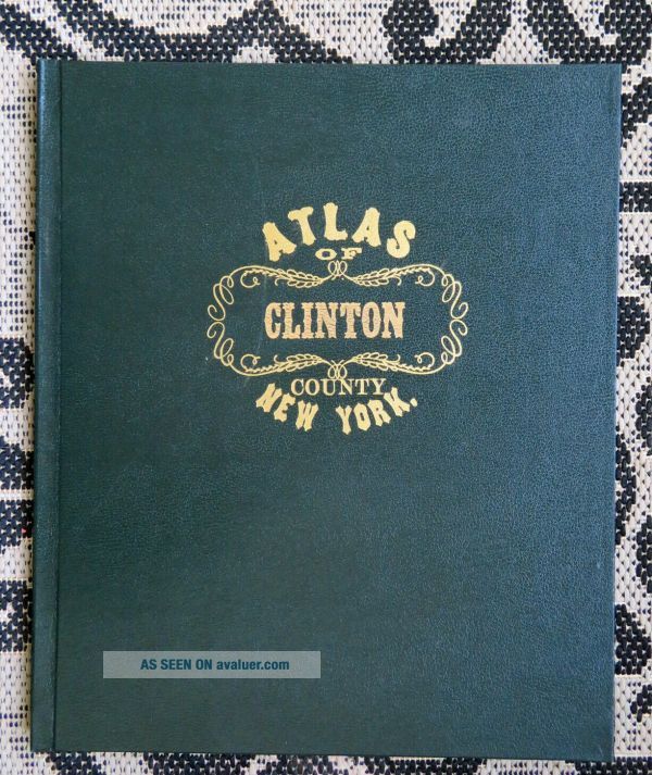
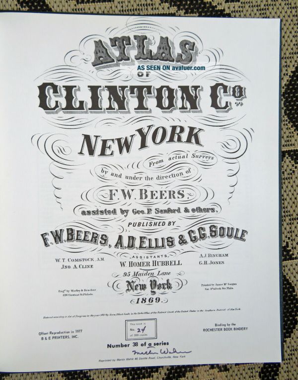
1869 CLINTON COUNTY NY ATLAS MAP FW BEERS CHAMPLAIN SARANAC SIGNED LTD 1977 ED


Item History & Price

Information:
Reference Number: Avaluer:43313437Cartographer/Publisher: MARTIN WEHLE
US State: NYOriginal/Reproduction: Vintage Reproduction
City: SARANAC LAKE & MOREFormat: Atlas Map
Date Range: 1800-1899Type: County Map
Country/Region: CLINTON COUNTYYear: 1977
Original Description:
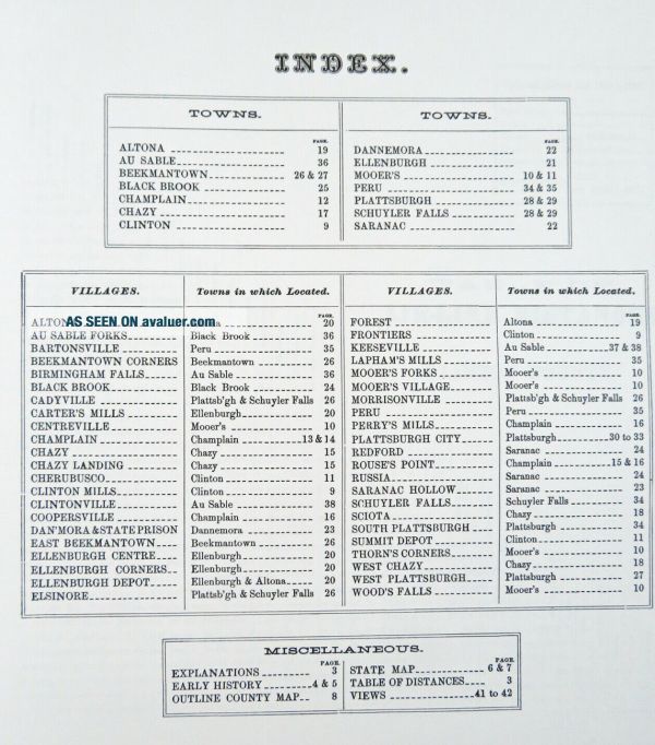
BEAUTIFUL 1869 ATLAS OF CLINTON COUNTY NEW YORK- REPRINTED IN 1977 BY MARTIN WEHLE OF CHURCHVILLE NY- SIGNED BY WEHLE- NO. 24 LIMITED TO 300 COPIES. EXACT COPY OF THE ORIGINAL 1869 BEERS ATLAS.  LEATHERBOUND WITH GILT LETTERING. ILLUSTRATED WITH MANY MAPS, ILLUSTRATIONS OF RESIDENCES, FARM, MANY FOLD-OUTS- TOWNS INCLUDE: ALTONA, AU SABLE FORKS, BEEKMANTOWN CORNERS, CHAZY, PERRY'S MILLS, PLATTSBURGH, SCIOTA, RUSSIA, SARANAC HOLLOW- MANY MORE.  IN EXCELLENT CLEAN CONDITION. MEA...SURES 16" X 13.5".  BUYER TO PAY 6.95 SHIPPING. 


    Similar items


  • 1869 Clinton County Ny Atlas Map Fw Beers Champlain Saranac Chazy 1977 Reprint

    1869 Clinton County Ny Atlas Map Fw Beers Champlain Saranac Chazy 1977 Reprint

  • 1869 Clinton County Ny Atlas Map Fw Beers Champlain Saranac Chazy 1977 Reprint

    1869 Clinton County Ny Atlas Map Fw Beers Champlain Saranac Chazy 1977 Reprint

  • 1869 Clinton County Ny Atlas Map Fw Beers Champlain Saranac Chazy 1977 Reprint

    1869 Clinton County Ny Atlas Map Fw Beers Champlain Saranac Chazy 1977 Reprint

  • 1869 Tioga County Ny Atlas Map Fw Beers Owego Spencer Candor Tioga 1975 Reprint

    1869 Tioga County Ny Atlas Map Fw Beers Owego Spencer Candor Tioga 1975 Reprint

  • 1869 Tioga County Ny Atlas Map Fw Beers Owego Spencer Candor Tioga 1975 Reprint

    1869 Tioga County Ny Atlas Map Fw Beers Owego Spencer Candor Tioga 1975 Reprint

  • 1867 Oswego County Ny Atlas Map Fw Beers Albion Parish Redfield 1974 Reprint

    1867 Oswego County Ny Atlas Map Fw Beers Albion Parish Redfield 1974 Reprint

  • 1876 Franklin County Ny Atlas Map Fw Beers Bangor Belmont Malone 1977 Reprint

    1876 Franklin County Ny Atlas Map Fw Beers Bangor Belmont Malone 1977 Reprint


    • You might also like


    • 1860 Mitchell Hand Colored Map Colorado,  Nebraska & Kansas - Civil War Era

      1860 Mitchell Hand Colored Map Colorado, Nebraska & Kansas - Civil War Era

    • 18th Century French Map Of North America

      18th Century French Map Of North America

    • Las Vegas Nevada Vintage 1967 Us Geological Survey Quadrangle Map 4 Panels

      Las Vegas Nevada Vintage 1967 Us Geological Survey Quadrangle Map 4 Panels

    • Rare Antique 1845 Maps United States Exploring Expedition Book Antartica Hawaii

      Rare Antique 1845 Maps United States Exploring Expedition Book Antartica Hawaii

    • Vintage 1926 Map Hollywood From The Best Surveys Of The Time

      Vintage 1926 Map Hollywood From The Best Surveys Of The Time

    • American Continent (western Hemisphere) 1747 Bowen Antique Copper Engraved Map

      American Continent (western Hemisphere) 1747 Bowen Antique Copper Engraved Map

    • Gulf Coast Florida Texas United States 1705 De Fer Unusual Antique Engraved Map

      Gulf Coast Florida Texas United States 1705 De Fer Unusual Antique Engraved Map

    • California As Island United States 1700 De Fer Unusual First Edition Antique Map

      California As Island United States 1700 De Fer Unusual First Edition Antique Map

Avaluer          About Us          Privacy Policy          Contact Us          UP
© 2022, avaluer.net, Inc. or its affiliates