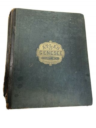
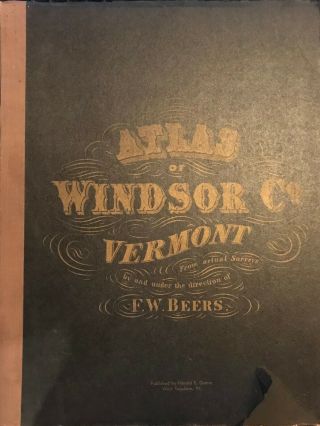
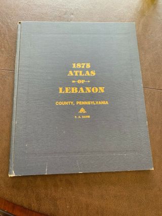
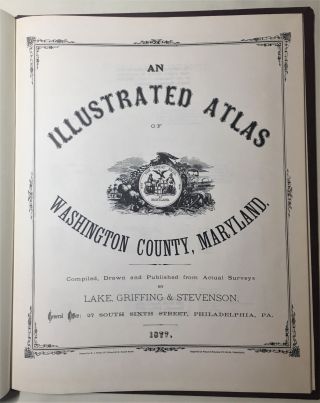
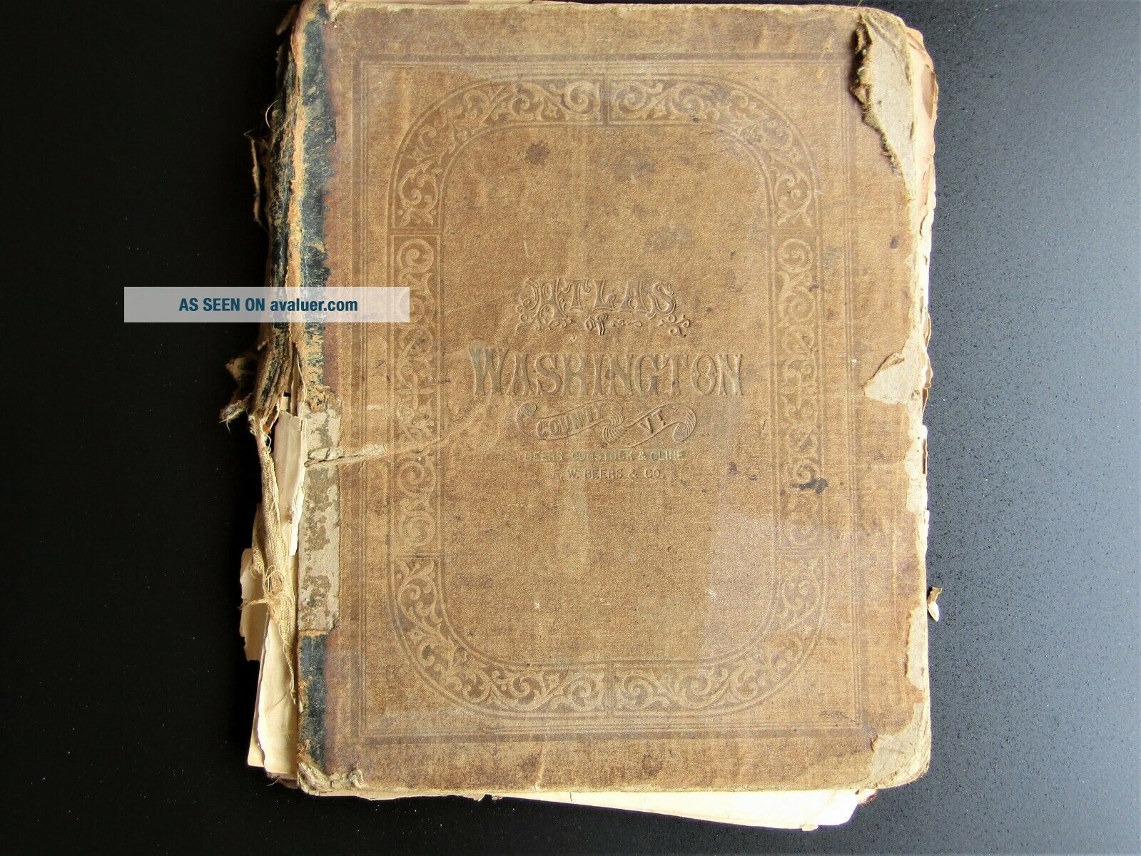
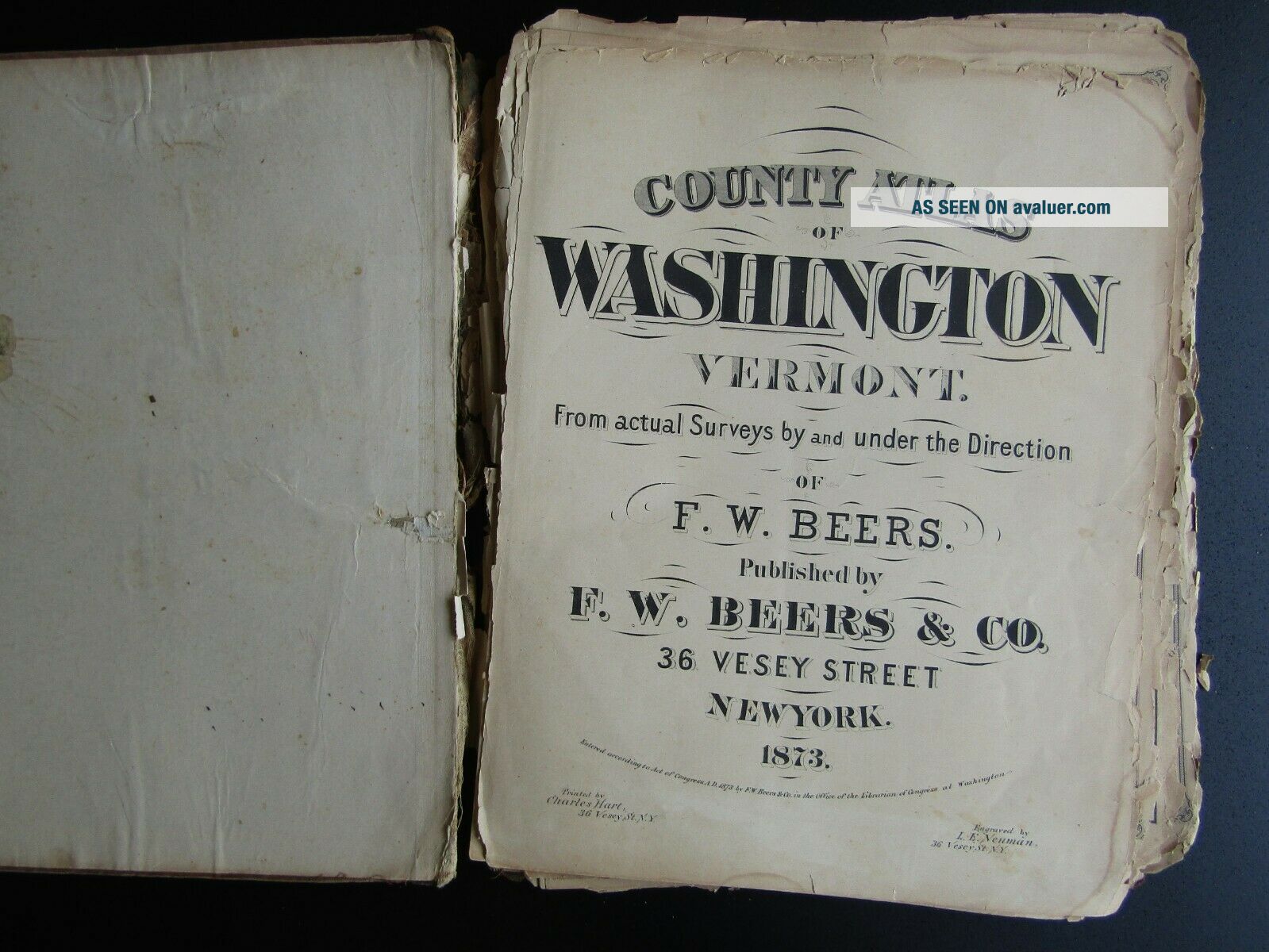
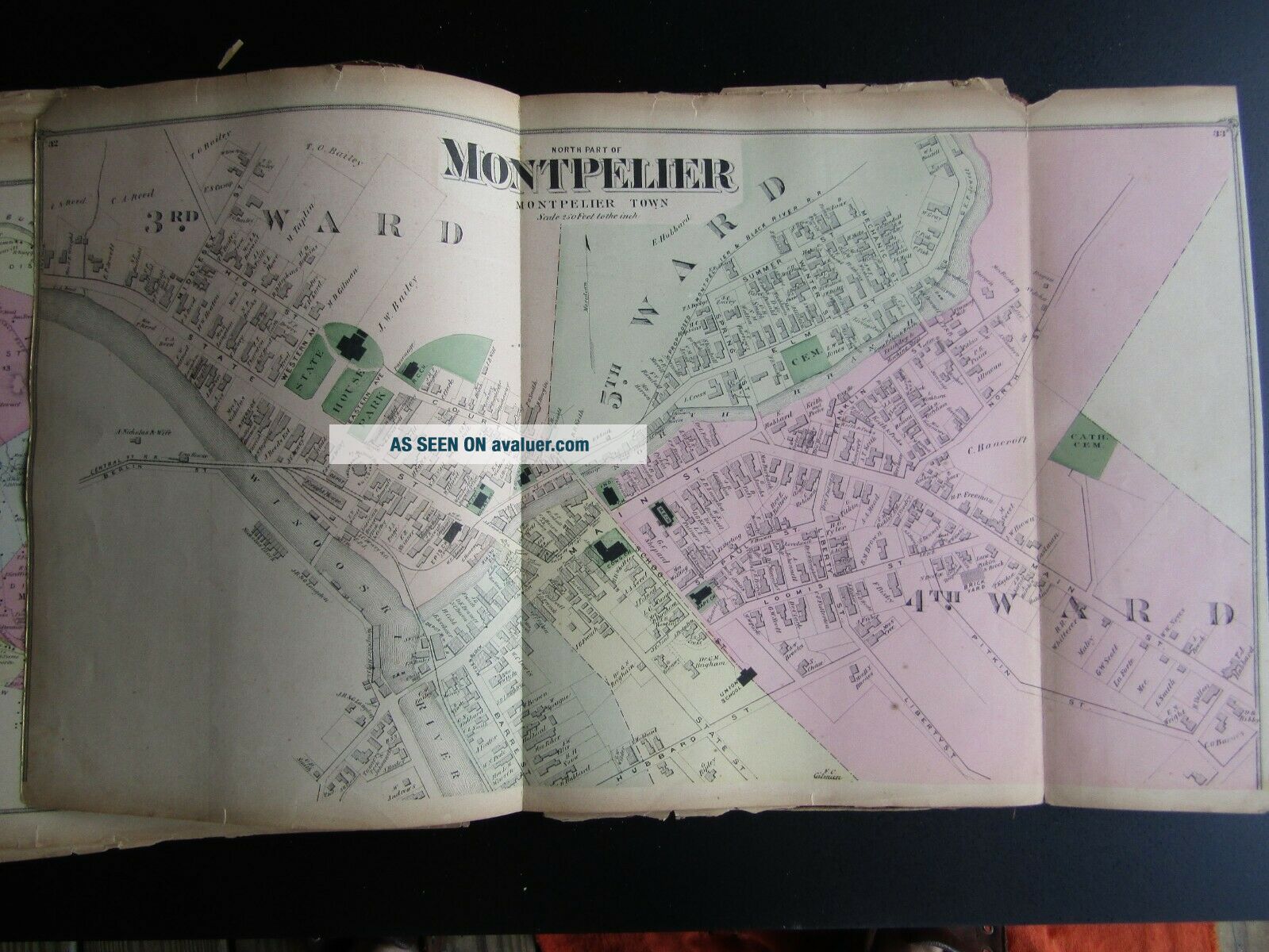
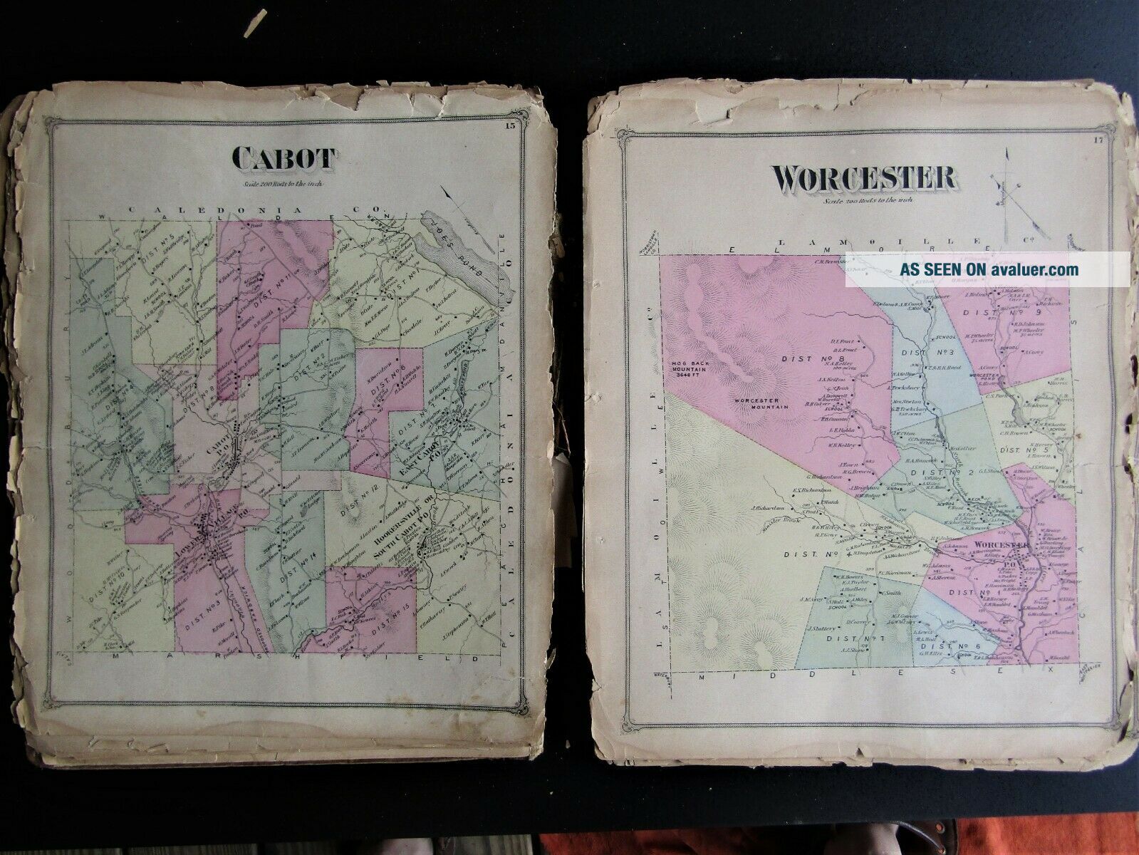
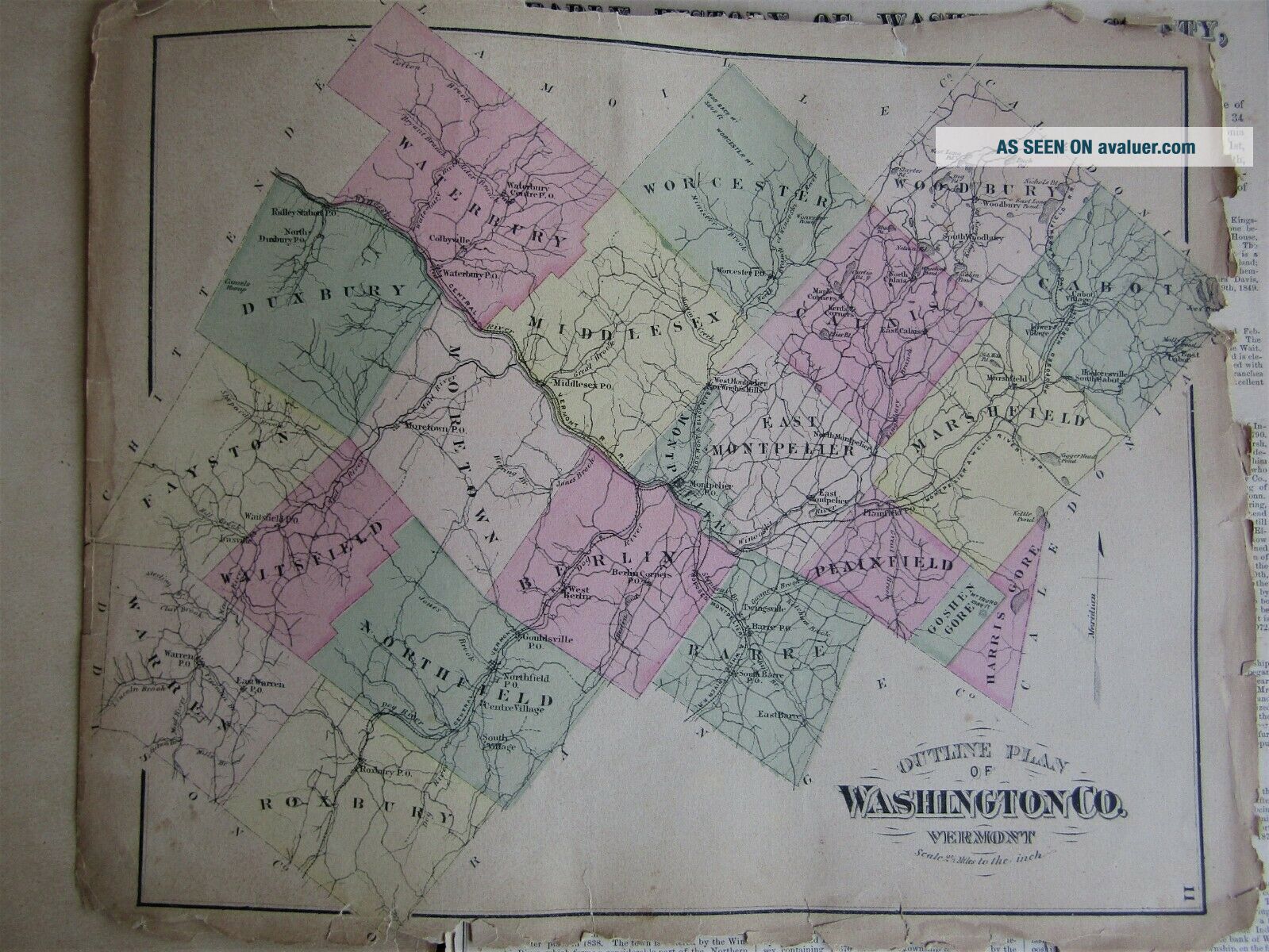
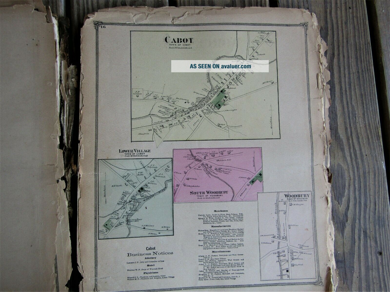
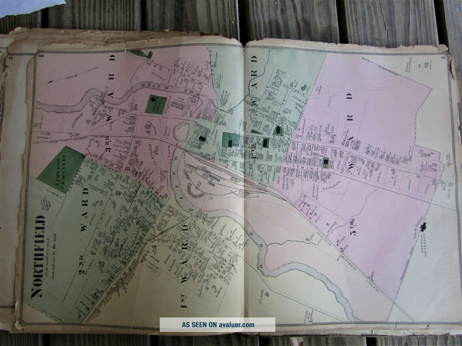
1873 Atlas Of Washington County, Vt F. W. Beers


Item History & Price

Information:
Reference Number: Avaluer:9045Cartographer/Publisher: Charles Hart
Year: 1873Original/Reproduction: Antique Original
US State: VermontType: County Map / Town map
Country/Region: United States of America
Original Description:
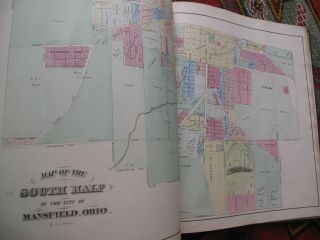
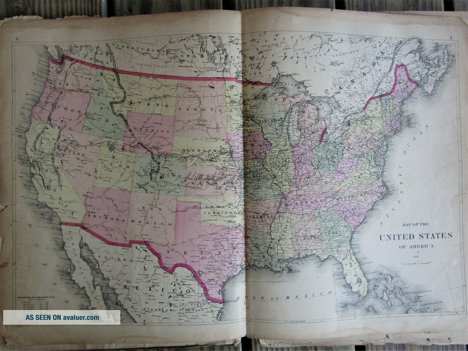
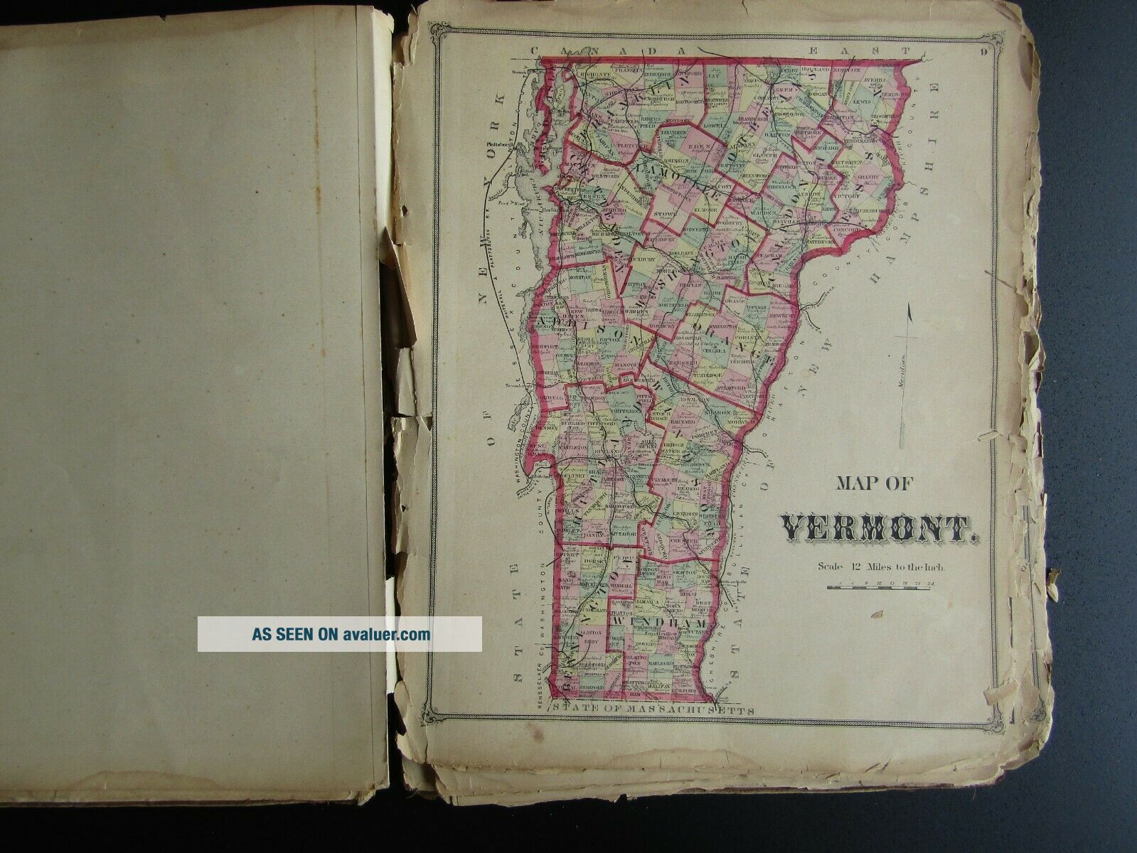
Found this book of maps many years ago in an attic in Whitehall , NY. Whitehall being about 45 minutes from my home near Rutland , Vt. As shown the book is rough around the edges. However , there are many nice frameable color plates . Best I can count there are like 31-32 pages and several are double sided. Guessing the book is not complete . I have no interest in attempting to verify what is there and what is not. Book is as it is. 
Shipped free via USPS Media (Books only)
...Thanks,
Old Bob


    Similar items


  • Antique Atlas Of Genesee County Mi.  F W Beers & Co 1873

    Antique Atlas Of Genesee County Mi. F W Beers & Co 1873

  • Atlas Of Windsor County Vermont F W Beers,  Town Plans Maps History Woodstock Vt

    Atlas Of Windsor County Vermont F W Beers, Town Plans Maps History Woodstock Vt

  • 1873 Atlas Of Richland County Ohio Mansfield Hand Color Maps Litho View

    1873 Atlas Of Richland County Ohio Mansfield Hand Color Maps Litho View

  • 1875 Rare Atlas Of Lebanon County Pennsylvania F.  A Davis Great Shape

    1875 Rare Atlas Of Lebanon County Pennsylvania F. A Davis Great Shape

  • Atlas Of Washington County Md 1877 Unigraphic Reprint 1975 Hagerstown

    Atlas Of Washington County Md 1877 Unigraphic Reprint 1975 Hagerstown

  • 1884 Atlas Of Washington County Nebraska Gillen & Davy Chicago Blair Nebr,  More

    1884 Atlas Of Washington County Nebraska Gillen & Davy Chicago Blair Nebr, More

  • 1872 Antique Atlas Of Wayne County Pennsylvania F.  W.  Beers Hand - Colored Maps

    1872 Antique Atlas Of Wayne County Pennsylvania F. W. Beers Hand - Colored Maps

  • Antique 1870 Atlas Of Worcester County Mass - F W Beers & Co

    Antique 1870 Atlas Of Worcester County Mass - F W Beers & Co


    • You might also like


    • 1860 Mitchell Hand Colored Map Colorado,  Nebraska & Kansas - Civil War Era

      1860 Mitchell Hand Colored Map Colorado, Nebraska & Kansas - Civil War Era

    • 18th Century French Map Of North America

      18th Century French Map Of North America

    • Las Vegas Nevada Vintage 1967 Us Geological Survey Quadrangle Map 4 Panels

      Las Vegas Nevada Vintage 1967 Us Geological Survey Quadrangle Map 4 Panels

    • Rare Antique 1845 Maps United States Exploring Expedition Book Antartica Hawaii

      Rare Antique 1845 Maps United States Exploring Expedition Book Antartica Hawaii

    • Vintage 1926 Map Hollywood From The Best Surveys Of The Time

      Vintage 1926 Map Hollywood From The Best Surveys Of The Time

    • American Continent (western Hemisphere) 1747 Bowen Antique Copper Engraved Map

      American Continent (western Hemisphere) 1747 Bowen Antique Copper Engraved Map

    • Gulf Coast Florida Texas United States 1705 De Fer Unusual Antique Engraved Map

      Gulf Coast Florida Texas United States 1705 De Fer Unusual Antique Engraved Map

    • California As Island United States 1700 De Fer Unusual First Edition Antique Map

      California As Island United States 1700 De Fer Unusual First Edition Antique Map

Avaluer          About Us          Privacy Policy          Contact Us          UP
© 2022, avaluer.net, Inc. or its affiliates